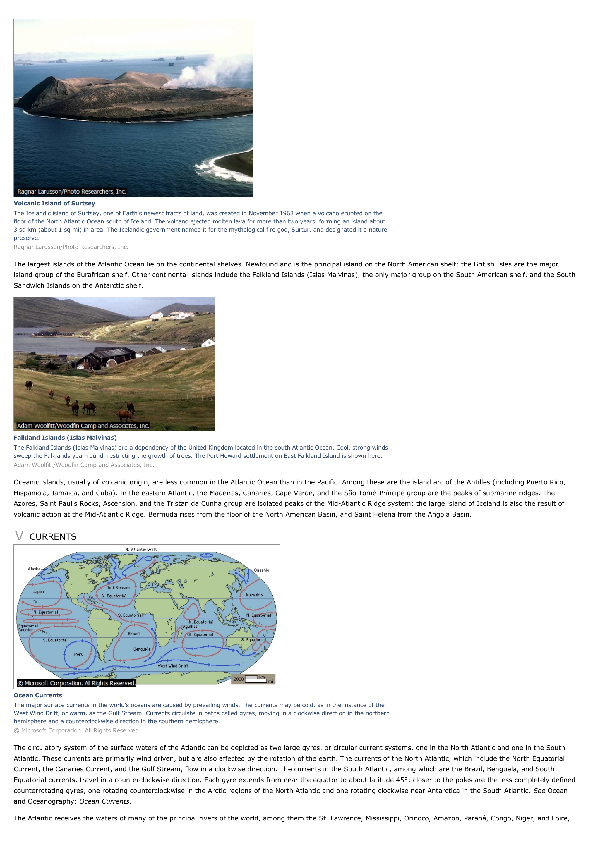
Atlantic Ocean - geography.
Publié le 26/05/2013

Extrait du document
«
Volcanic Island of SurtseyThe Icelandic island of Surtsey, one of Earth's newest tracts of land, was created in November 1963 when a volcano erupted on thefloor of the North Atlantic Ocean south of Iceland.
The volcano ejected molten lava for more than two years, forming an island about3 sq km (about 1 sq mi) in area.
The Icelandic government named it for the mythological fire god, Surtur, and designated it a naturepreserve.Ragnar Larusson/Photo Researchers, Inc.
The largest islands of the Atlantic Ocean lie on the continental shelves.
Newfoundland is the principal island on the North American shelf; the British Isles are the majorisland group of the Eurafrican shelf.
Other continental islands include the Falkland Islands (Islas Malvinas), the only major group on the South American shelf, and the SouthSandwich Islands on the Antarctic shelf.
Falkland Islands (Islas Malvinas)The Falkland Islands (Islas Malvinas) are a dependency of the United Kingdom located in the south Atlantic Ocean.
Cool, strong windssweep the Falklands year-round, restricting the growth of trees.
The Port Howard settlement on East Falkland Island is shown here.Adam Woolfitt/Woodfin Camp and Associates, Inc.
Oceanic islands, usually of volcanic origin, are less common in the Atlantic Ocean than in the Pacific.
Among these are the island arc of the Antilles (including Puerto Rico,Hispaniola, Jamaica, and Cuba).
In the eastern Atlantic, the Madeiras, Canaries, Cape Verde, and the São Tomé-Príncipe group are the peaks of submarine ridges.
TheAzores, Saint Paul's Rocks, Ascension, and the Tristan da Cunha group are isolated peaks of the Mid-Atlantic Ridge system; the large island of Iceland is also the result ofvolcanic action at the Mid-Atlantic Ridge.
Bermuda rises from the floor of the North American Basin, and Saint Helena from the Angola Basin.
V CURRENTS
Ocean CurrentsThe major surface currents in the world’s oceans are caused by prevailing winds.
The currents may be cold, as in the instance of theWest Wind Drift, or warm, as the Gulf Stream.
Currents circulate in paths called gyres, moving in a clockwise direction in the northernhemisphere and a counterclockwise direction in the southern hemisphere.© Microsoft Corporation.
All Rights Reserved.
The circulatory system of the surface waters of the Atlantic can be depicted as two large gyres, or circular current systems, one in the North Atlantic and one in the SouthAtlantic.
These currents are primarily wind driven, but are also affected by the rotation of the earth.
The currents of the North Atlantic, which include the North EquatorialCurrent, the Canaries Current, and the Gulf Stream, flow in a clockwise direction.
The currents in the South Atlantic, among which are the Brazil, Benguela, and SouthEquatorial currents, travel in a counterclockwise direction.
Each gyre extends from near the equator to about latitude 45°; closer to the poles are the less completely definedcounterrotating gyres, one rotating counterclockwise in the Arctic regions of the North Atlantic and one rotating clockwise near Antarctica in the South Atlantic.
See Ocean and Oceanography: Ocean Currents .
The Atlantic receives the waters of many of the principal rivers of the world, among them the St.
Lawrence, Mississippi, Orinoco, Amazon, Paraná, Congo, Niger, and Loire,.
»
↓↓↓ APERÇU DU DOCUMENT ↓↓↓
Liens utiles
- Atlantic Ocean - Geography.
- Christopher Columbus I INTRODUCTION Christopher Columbus (1451-1506), Italian-born Spanish navigator who sailed west across the Atlantic Ocean in search of a route to Asia but achieved fame by making landfall in the Americas instead.
- Arctic Ocean - Geography.
- Indian Ocean - Geography.
- Pacific Ocean - Geography.


