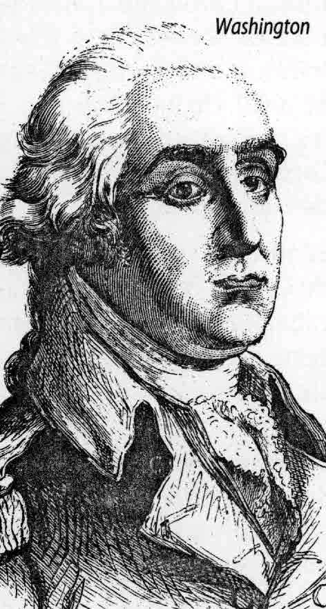
Washington, D.
Publié le 27/05/2013

Extrait du document


«
South of the Federal Triangle is the Mall, a narrow park stretching roughly 1.6 km (1 mi) from the Capitol to the Washington Monument.
Although the Mall officially ends at14th Street, landscaped greenery extends to the Potomac.
The Washington Monument, whose marble shaft dominates the skyline, stands 169 m (555 ft) high near thecenter of this parkland.
The interior of the monument is hollow, and visitors may either climb its 898 steps or ride its elevator 150 m (500 ft) for a magnificent view.
Aheight restriction law enacted by Congress in 1899 ensures that no private structure in Washington, D.C., will extend higher than the monument or the Capitol.
Beyond the monument in West Potomac Park, still in a straight line from the Capitol, is the massive Lincoln Memorial.
This monument’s 36 columns represent the 36 statesin the Union at the time of Lincoln’s death in 1865.
Its interior contains a great stone seated figure of Lincoln carved by sculptor Daniel Chester French.
Between the LincolnMemorial and the Washington Monument is the National World War II Memorial, which opened in 2004.
Nearby, the Arlington Memorial Bridge spans the Potomac andconnects the Lincoln Memorial with Arlington National Cemetery in Arlington, Virginia.
Located at the cemetery are the Tomb of the Unknowns; the Arlington House, homeof Confederate general Robert E.
Lee; and, on the slope directly below that, the grave of President John F.
Kennedy.
Close to the Lincoln Memorial is the Vietnam Veterans Memorial.
This memorial commemorates the American men and women who died or disappeared during the VietnamWar (1959-1975).
Nearby is the Korean War Veterans Memorial, honoring the Americans who served in the Korean War (1950-1953).
Southeast of the Lincoln Memorial isthe Tidal Basin, framed by Washington’s famous Japanese cherry trees.
The government of Japan gave the cherry trees to the United States in 1912.
Reflected in the waterof the Tidal Basin is the Thomas Jefferson Memorial.
This circular, colonnaded marble memorial contains a bronze standing figure of Thomas Jefferson by sculptor RudolphEvans.
Roughly halfway between the Jefferson Memorial and the Lincoln Memorial is the Franklin Delano Roosevelt Memorial, which opened in 1997.
D Neighborhoods
The once-premier neighborhoods near early federal activity, notably Georgetown, Foggy Bottom, and Capitol Hill, all declined over time.
Although they were rediscoveredand restored in the second half of the 20th century, in the interim newer communities became popular.
In the mid-19th century streetcars began to offer easy commutes toareas outside the city core.
At this time, Anacostia’s Uniontown section, where abolitionist leader Frederick Douglass settled after the American Civil War (1861-1865), andLeDroit Park, near Howard University, developed as Washington’s first suburbs.
In the early 20th century, Mount Pleasant, a few miles north of the White House, became popular.
With the availability of automobiles, first Cleveland Park and subsequentlyWesley Heights and American University Park emerged as preferred residential destinations.
Just above the old downtown, the area known as Shaw emerged as the mostprominent black section of the city.
The concentration of theaters and other social activities there gave U Street the nickname of Black Broadway.
Somewhat further abovethe old city, the Adams Morgan section emerged in the 1960s as one of Washington’s most diverse neighborhoods, with large populations of Latin American and Caribbeanimmigrants.
Over the years, the suburbs outside the city have grown rapidly.
In addition to older areas such as Arlington, Virginia, and Chevy Chase, Maryland, new suburban office andretail complexes have emerged at Tyson’s Corner and Pentagon City in Virginia and Freedom Plaza in Maryland.
III POPULATION
Washington, D.C., grew slowly from the time of its origins until the Civil War.
Its founders expected it to emerge as a great city because of its favored trading site along thePotomac River.
However, the city proved incapable of fully exploiting its opportunities—due to, among other things, a lack of federal funding for development—and it laggedbehind other major port cities along the eastern seaboard.
Washington’s population boomed during the Civil War, rising from a modest population of 61,122 in 1860 to109,199 only a decade later.
During the first half of the 20th century, the federal presence in the city expanded, and population grew with it, reaching a peak of more than800,000 in 1950.
The city’s population dropped thereafter, as it lost residents to the suburbs.
Nearly 69 percent of the metropolitan population lived in Washington in 1940; by 1960 thatnumber had fallen to 37 percent, and to less than 12 percent in 2000.
In 2000 the population of the city was 572,059, and by 2005 it was estimated at 550,521.
In contrast,the population of the metropolitan area in 2006 was 5,290,400.
Partly because the District of Columbia was originally formed from slaveholding states, the national capital has always had a significant black presence, approximately 25percent of the population from its origins until World War II.
After the war, many white families relocated to the suburbs, and the city’s demography changed.
In 1957Washington became the first major city in America with a black majority.
Between 1950 and 1960 Washington’s black presence grew by nearly 50 percent, from 280,803 to411,737, while the white population declined by one-third.
Until recently the great majority of the black population was located inside the city.
But like an earlier generation of whites, the black middle class began to leave the cityand move to the suburbs.
In 2000, blacks constituted 60 percent of the city’s population, compared with 30.8 percent white.
Asians were 2.7 percent of inhabitants, NativeAmericans 0.3, Native Hawaiians and other Pacific Islanders 0.1 percent, and people of mixed heritage or not reporting race 6.2 percent.
Hispanics, who may be of any race,made up 7.9 percent of the population.
During the early 19th century, Washington lacked the industrial base that drew immigrants to other cities, and so the population retained its largely native-born character.In the late 19th century, small Italian and Eastern European Jewish communities formed, creating their own churches and synagogues and associated ethnic institutions.Many descendents of these immigrants left the city for the suburbs in the 1950s, along with much of the rest of the white population.
While the Italian Roman CatholicChurch, Holy Rosary, still functions near Union Station, few of its parishioners still live in the city.
Most of the early synagogues near downtown have left, replaced by blackProtestant congregations.
A small Chinese community formed in Washington in the late 19th century.
Originally concentrated downtown along Pennsylvania Avenue, Chinatown moved several blocksnorth to make way for completion of the Federal Triangle office complex in the 1930s.
Chinatown still exists along H Street NW, but only about a third of Washington’s 3,000Chinese listed in the 1990 census live in that area.
An additional 37,000 Chinese live in surrounding suburbs.
In the suburbs, they are joined by more recent immigrantgroups from Asia, most notably Vietnamese, Cambodians, and Lao.
Both suburban Maryland and northern Virginia support Asian populations of about 100,000 each.
Hispanics form the other major immigrant group in the area.
Although the District of Columbia’s population is about 5 percent Hispanic, the largest number of theseimmigrants are located in the suburbs: an estimated 90,000 in Maryland and 100,000 in Virginia.
In 1991 the Washington metropolitan area ranked tenth in the nation as adestination for new immigrants.
IV EDUCATION AND CULTURE
A Institutions of Higher Learning
It was George Washington’s dream that the capital city host a national university.
Congress, however, was reluctant to fund such an entity.
As a result, while a number ofinstitutions have aspired to national roles, none has been favored with a national mandate.
Founded in 1789, Georgetown University is the oldest Roman Catholic universityin the United States.
The George Washington University was founded in 1821 by Baptists as Columbian College.
Gallaudet University is the only liberal arts university in theworld specifically for deaf and hearing-impaired students.
Former Union general Oliver Otis Howard founded Howard University as a predominately black university in 1867.The two other private universities in the city are the Catholic University of America and American University.
Also, the city opened the University of the District of Columbiawith congressional approval by consolidating a teacher’s college, a city college, and a technical institute..
»
↓↓↓ APERÇU DU DOCUMENT ↓↓↓
Liens utiles
- commentaire de carte le monde vu de Washington en 2002
- Georges Washington devoir d'euro-histoire anglais
- CONTES DE L'ALHAMBRA (résumé & analyse) de Washington Irving
- WASHINGTON SQUARE.
- Le personnage de RIP VAN WINKLE Washington Irving


